
Advertisement
-
Published Date
July 7, 2025This ad was originally published on this date and may contain an offer that is no longer valid. To learn more about this business and its most recent offers, click here.
Ad Text
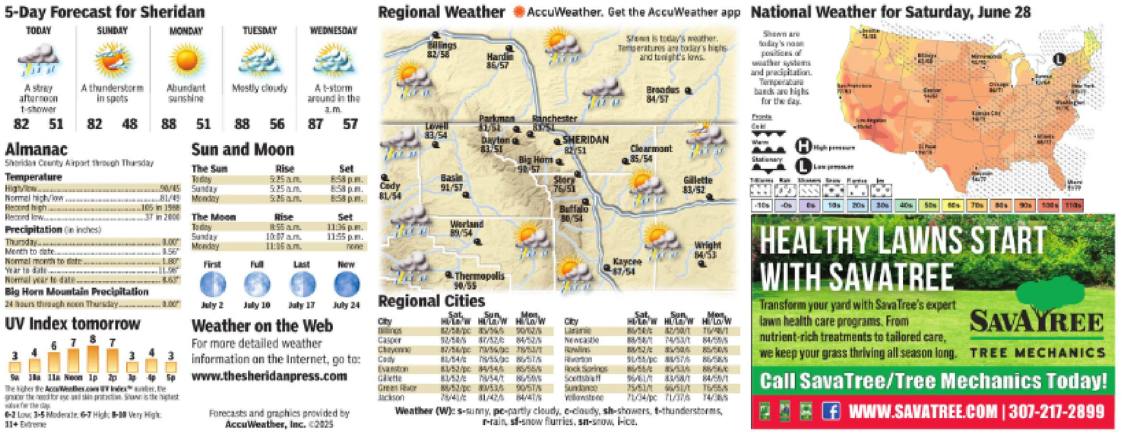
5-Day Forecast for Sheridan TODAY SUNDAY MONDAY TUESDAY WEDNESDAY Regional Weather AccuWeather. Get the AccuWeather app National Weather for Saturday, June 28 Billings 82/58 Hardin 86/57 Shown is today's weather. Temperatures are today's highs and tonight's lows. Broades 84/57 Shown are Body's na positions of weather systems and precipitation. Temperature bands are highs for the day. Dig BUTT A stray A thunderstorm afternoon in spots Abundant sunshine Mostly cloudy A t-storm around in the t-shower a.m. 82 51 82 48 88 51 88 56 87 57 Parkman Ranchester 81758 83/54 Dayton SHERIDAN Almanac Sheridan County Airport through Thursday Temperature High/low 90/45 Sunday Sun and Moon 83.51 82/51 Big Hom Clearmont 85/54 The Sun Today Rise Set 5:25am. 8:58 p.m. Basin 5:25am. 8:58 p.m. Cody 91/57 Normal high/low. 81/49 Monday 5.26.m. 8:58 p.m. 81/54 Record high... 105 in 1968 Record low 37 in 2000 The Moon Rise Set Precipitation (in inches) Today 8:55 am. Sunday Thursday 1.00 Month to date... 0.56 Monday 10:07am. 11:16 am. 11:36 p.m. 11:55 p.m. Normal month to date. L80 First Full Last New Year to date Normal year to date. -863 Big Horn Mountain Precipitation 24 hours through noon Thursday.............01.00" July 2 July 10 July 17 July 24 Regional Cities UV Index tomorrow 90-57 Story 76/51 Buffalo 30/54 Worland 89/54 Thermopolis 90/55 Gillette 83/52 Stationary H 1801 Wright 84/53 Kaycee 87/54 Sat Sun Mon HOW HOLD HOW 4/3/4/5 30% 90s 100s 110 HEALTHY LAWNS START WITH SAVATREE Transform your yard with SavaTree's expert lawn health care programs. From nutrient-rich treatments to tailored care, SAVAYREE we keep your grass thriving all season long. TREE MECHANICS Call SavaTree/Tree Mechanics Today! fWWW.SAVATREE.COM | 307-217-2899 Weather on the Web City gthened for and skiption Shown is the the day 6 787 10 11a Noon 1pppp www.thesheridanpress.com The higher the Wallies.com WV Index ante. -2 Low 3-5 Moderate: 6-7 High-Very High: 11+ Extreme Sun Mon HOLOW HOLDOW HOW 82/58/ 85/54/550/62/5 City For more detailed weather Casper Cheyeme information on the Internet, go to: Cady Evanston Green Jackson 12/4/0/5/4/5 87/54 75 75 81/54/ 550 851/ 81/52/4/54685/55 BUS/54/1 865 88/52/pc 8536 905TS Sunda 78/4/ 81/425 84/4/5 Yellowstone Newcastle Rawlins Rock Springs 8/5/85/50/55/5 5/55/pc 84/57/6 55/855 6/8/58/1 75/53/4 6/51/1 8658 KSAVE 84/55/1 16/55/8 71/34/pc 71/37/6 14/3 Forecasts and graphics provided by AccuWeather, Inc. <2025 Weather (W): s-sunny, pe-partly cloudy, e-cloudy, sh-showers, t-thunderstorms, r-rains-snow flurries, sn-snow, ice. 5 - Day Forecast for Sheridan TODAY SUNDAY MONDAY TUESDAY WEDNESDAY Regional Weather AccuWeather . Get the AccuWeather app National Weather for Saturday , June 28 Billings 82/58 Hardin 86/57 Shown is today's weather . Temperatures are today's highs and tonight's lows . Broades 84/57 Shown are Body's na positions of weather systems and precipitation . Temperature bands are highs for the day . Dig BUTT A stray A thunderstorm afternoon in spots Abundant sunshine Mostly cloudy A t - storm around in the t - shower a.m. 82 51 82 48 88 51 88 56 87 57 Parkman Ranchester 81758 83/54 Dayton SHERIDAN Almanac Sheridan County Airport through Thursday Temperature High / low 90/45 Sunday Sun and Moon 83.51 82/51 Big Hom Clearmont 85/54 The Sun Today Rise Set 5:25 am . 8:58 p.m. Basin 5:25 am . 8:58 p.m. Cody 91/57 Normal high / low . 81/49 Monday 5.26.m. 8:58 p.m. 81/54 Record high ... 105 in 1968 Record low 37 in 2000 The Moon Rise Set Precipitation ( in inches ) Today 8:55 am . Sunday Thursday 1.00 Month to date ... 0.56 Monday 10:07 am . 11:16 am . 11:36 p.m. 11:55 p.m. Normal month to date . L80 First Full Last New Year to date Normal year to date . -863 Big Horn Mountain Precipitation 24 hours through noon Thursday ............. 01.00 " July 2 July 10 July 17 July 24 Regional Cities UV Index tomorrow 90-57 Story 76/51 Buffalo 30/54 Worland 89/54 Thermopolis 90/55 Gillette 83/52 Stationary H 1801 Wright 84/53 Kaycee 87/54 Sat Sun Mon HOW HOLD HOW 4/3/4/5 30 % 90s 100s 110 HEALTHY LAWNS START WITH SAVATREE Transform your yard with SavaTree's expert lawn health care programs . From nutrient - rich treatments to tailored care , SAVAYREE we keep your grass thriving all season long . TREE MECHANICS Call SavaTree / Tree Mechanics Today ! fWWW.SAVATREE.COM | 307-217-2899 Weather on the Web City gthened for and skiption Shown is the the day 6 787 10 11a Noon 1pppp www.thesheridanpress.com The higher the Wallies.com WV Index ante . -2 Low 3-5 Moderate : 6-7 High - Very High : 11+ Extreme Sun Mon HOLOW HOLDOW HOW 82 / 58 / 85/54/550/62/5 City For more detailed weather Casper Cheyeme information on the Internet , go to : Cady Evanston Green Jackson 12/4/0/5/4/5 87/54 75 75 81 / 54 / 550 851 / 81/52/4/54685/55 BUS / 54 / 1 865 88 / 52 / pc 8536 905TS Sunda 78 / 4 / 81/425 84/4/5 Yellowstone Newcastle Rawlins Rock Springs 8/5/85/50/55/5 5 / 55 / pc 84/57/6 55/855 6/8/58/1 75/53/4 6/51/1 8658 KSAVE 84/55/1 16/55/8 71 / 34 / pc 71/37/6 14/3 Forecasts and graphics provided by AccuWeather , Inc. < 2025 Weather ( W ) : s - sunny , pe - partly cloudy , e - cloudy , sh - showers , t - thunderstorms , r - rains - snow flurries , sn - snow , ice .