
Advertisement
-
Published Date
June 12, 2025This ad was originally published on this date and may contain an offer that is no longer valid. To learn more about this business and its most recent offers, click here.
Ad Text
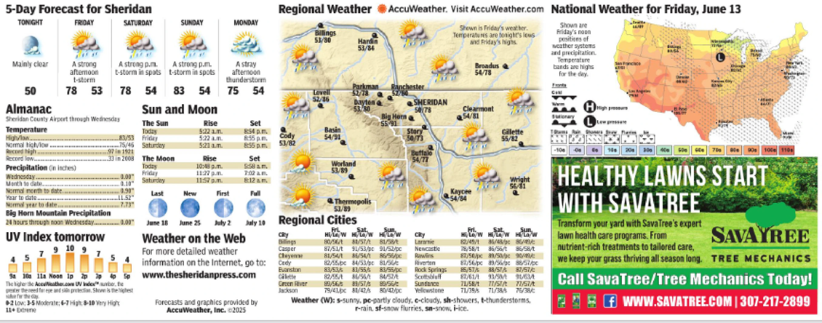
5-Day Forecast for Sheridan TONIGHT FRIDAY SATURDAY SUNDAY MONDAY Billings 53/80 Hardin 53/84 Mainly clear A strong afternoon t-storm A strong p.m. t-storm in spots A strong p.m. t-storm in spots A stray afternoon Regional Weather AccuWeather. Visit AccuWeather.com National Weather for Friday, June 13 Shown is Friday's weather. Temperatures are tonight's lows and Friday's highs Broadus 54/78 Shown are Friday's noon positions of weather systems and precipitation. Temperature bands are highs for the day. SanFranciace thunderstorm 50 78 53 78 54 83 54 75 54 Parkman Ranchester Lovell 52/78 52/36 Dayton SHERIDAN Almanac Sheridan County Airport through Wednesday Sun and Moon 53/30 5078 The Sun Rise Set Big Horna 55-91 Clearmont 54/81 Wan High Temperature Today 5:22 1.m. 8:54 p.m. Basin Story High/low.... 83/53 Friday 5:22 am 8:55 pm. Cody 54/91 50/73 Normal high/low 75/45 Saturday 5:21 am. 8:55pm. 53/82 Record high 97 in 1921 Record low.... 33 in 2008 The Moon Rise Set Precipitation (in inches) Today 10:48 pm. 5:58am. Wednesday... Month to date. -0.03 0.10 Friday 11:27 pm. 7:02am. Worland 53/89 Saturday 11:57 pm. 8:12 am Normal month to date. 0.90" Last New First Full Wear to date Normal year to date... LL.52" 7.73" Thermopolis 53/89 Big Horn Mountain Precipitation 24 hours through noon Wednesday. _ 0.00 June 18 June 25 July 2 July 10 Regional Cities UV Index tomorrow 9 10 9 7 5 Weather on the Web City For more detailed weather information on the Internet, go to: Billings Casper Cheyenne Cady Evanston Gilet Green River Jackson Forecasts and graphics provided by AccuWeather, Inc. ©2025 Sa 10a lla Noon lp 2p 3p 40 Sp www.thesheridanpress.com The higher the AccuWeather.com UV Index. gathered free and sin protection. Shown is the highest ale for the Gay 0-2 Low: 3-5 Moderate; 6-7 High: 8-10 Very High 11+ Extreme Sun. Sat HILA/W HOW H/LG/W 80/56/1 80/57/81/58/t 87/51/t 91/53/pc 91/52/pc 81/54/1 86/54/1 86/56/pc 82/55/pc 84/53/pc 81/56/ 83/53 83/55/ 83/55/pc 82/55/1 6/56 8457 89/56/5 89/57/ 89/56/3 City Laramie Newcastle Rawlins Riverton Rock Springs Scottsbluff Sundance 79/41/pc 80/47/ 80/42/pc Yellowstone Fri. Sat Sun Hi/Lo/W Hi/Low H/Law 82/45/186/48/86/ 18/58/1 86/56/t 86/58/t 87/50pc 8/50/90 87/56/pc 83/56/88/57/p 85/57/ 88/57/ 87/57/ 87/61/4 1/5 91634 71/58/1 77/57/17/57 71/35 71/38% 75/38/ Weather (W): s-sunny, pe-partly cloudy, c-cloudy, sh-showers, t-thunderstorms. r-rains-snow flurries, sn-snow, i-ice. 100 110 HEALTHY LAWNS START WITH SAVATREE Transform your yard with Sava Tree's expert lawn health care programs. From nutrient-rich treatments to tailored care, SAVAYREE we keep your grass thriving all season long. TREE MECHANICS Call SavaTree/Tree Mechanics Today! WWW.SAVATREE.COM | 307-217-2899 Gilette 55/82 -100 10 20 30 40 500 600 700 Buffalo 54/77 Wright 56/81 54/84 5 - Day Forecast for Sheridan TONIGHT FRIDAY SATURDAY SUNDAY MONDAY Billings 53/80 Hardin 53/84 Mainly clear A strong afternoon t - storm A strong p.m. t - storm in spots A strong p.m. t - storm in spots A stray afternoon Regional Weather AccuWeather . Visit AccuWeather.com National Weather for Friday , June 13 Shown is Friday's weather . Temperatures are tonight's lows and Friday's highs Broadus 54/78 Shown are Friday's noon positions of weather systems and precipitation . Temperature bands are highs for the day . SanFranciace thunderstorm 50 78 53 78 54 83 54 75 54 Parkman Ranchester Lovell 52/78 52/36 Dayton SHERIDAN Almanac Sheridan County Airport through Wednesday Sun and Moon 53/30 5078 The Sun Rise Set Big Horna 55-91 Clearmont 54/81 Wan High Temperature Today 5:22 1.m. 8:54 p.m. Basin Story High / low .... 83/53 Friday 5:22 am 8:55 pm . Cody 54/91 50/73 Normal high / low 75/45 Saturday 5:21 am . 8:55 pm . 53/82 Record high 97 in 1921 Record low .... 33 in 2008 The Moon Rise Set Precipitation ( in inches ) Today 10:48 pm . 5:58 am . Wednesday ... Month to date . -0.03 0.10 Friday 11:27 pm . 7:02 am . Worland 53/89 Saturday 11:57 pm . 8:12 am Normal month to date . 0.90 " Last New First Full Wear to date Normal year to date ... LL.52 " 7.73 " Thermopolis 53/89 Big Horn Mountain Precipitation 24 hours through noon Wednesday . _ 0.00 June 18 June 25 July 2 July 10 Regional Cities UV Index tomorrow 9 10 9 7 5 Weather on the Web City For more detailed weather information on the Internet , go to : Billings Casper Cheyenne Cady Evanston Gilet Green River Jackson Forecasts and graphics provided by AccuWeather , Inc. © 2025 Sa 10a lla Noon lp 2p 3p 40 Sp www.thesheridanpress.com The higher the AccuWeather.com UV Index . gathered free and sin protection . Shown is the highest ale for the Gay 0-2 Low : 3-5 Moderate ; 6-7 High : 8-10 Very High 11+ Extreme Sun. Sat HILA / W HOW H / LG / W 80/56/1 80 / 57 / 81 / 58 / t 87 / 51 / t 91 / 53 / pc 91 / 52 / pc 81/54/1 86/54/1 86 / 56 / pc 82 / 55 / pc 84 / 53 / pc 81 / 56 / 83/53 83 / 55 / 83 / 55 / pc 82/55/1 6/56 8457 89/56/5 89 / 57 / 89/56/3 City Laramie Newcastle Rawlins Riverton Rock Springs Scottsbluff Sundance 79 / 41 / pc 80 / 47 / 80 / 42 / pc Yellowstone Fri. Sat Sun Hi / Lo / W Hi / Low H / Law 82 / 45 / 186 / 48 / 86 / 18/58/1 86 / 56 / t 86 / 58 / t 87 / 50pc 8/50/90 87 / 56 / pc 83 / 56 / 88 / 57 / p 85 / 57 / 88 / 57 / 87 / 57 / 87/61/4 1/5 91634 71/58/1 77/57/17/57 71/35 71 / 38 % 75 / 38 / Weather ( W ) : s - sunny , pe - partly cloudy , c - cloudy , sh - showers , t - thunderstorms . r - rains - snow flurries , sn - snow , i - ice . 100 110 HEALTHY LAWNS START WITH SAVATREE Transform your yard with Sava Tree's expert lawn health care programs . From nutrient - rich treatments to tailored care , SAVAYREE we keep your grass thriving all season long . TREE MECHANICS Call SavaTree / Tree Mechanics Today ! WWW.SAVATREE.COM | 307-217-2899 Gilette 55/82 -100 10 20 30 40 500 600 700 Buffalo 54/77 Wright 56/81 54/84