
Advertisement
-
Published Date
April 28, 2025This ad was originally published on this date and may contain an offer that is no longer valid. To learn more about this business and its most recent offers, click here.
Ad Text
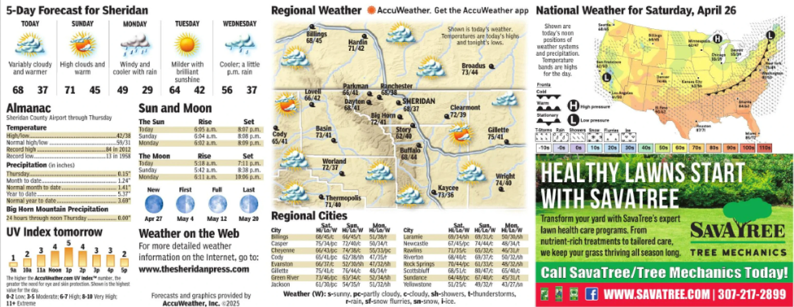
5-Day Forecast for Sheridan TODAY SUNDAY MONDAY TUESDAY WEDNESDAY Billings 68/45 Hardin 71/42 Variably cloudy High clouds and and warmer warm Windy and cooler with rain Milder with Cooler; a little brilliant p.m. rain sunshine 68 37 71 45 49 29 64 42 56 37 Lovell 66/42 Parkman 66/41 Dayton Ranchester 65/38 Almanac Sun and Moon 68/41 SHERIDAN 68/37 Sheridan County Airport through Thursday Big Horn Clearmont 72/39 The Sun Rise Set 72/41 Temperature Today 6:05 am. 8:07 p.m. Basin High/low Normal high/low- 42/38 59/31 Sunday 6:04 am Cody 8:08 p.m. 73/41 Story 62/40 Monday 6:02 am 8:09 p.m. 65/41 Regional Weather AccuWeather. Get the AccuWeather app National Weather for Saturday, April 26 Shown is today's weather. Temperatures are today's highs and tonight's lows. Broadus 73/44 Gillette 75/41 Shown are today's noon positions of weather systems and precipitation. Temperature bands are highs for the day. Fronta Coll Stationary HHigh pressure Low pressure Titans Rain Showers Sw H Chicag Record high.. 84 in 2012 Record low... 13 in 1958 The Moon Rise Set Buffalo 68/44 Precipitation (in inches) Today 5:18 am 7:11 p.m. Worland 72/37 Sunday 5:42 am 8:38 p.m. Thursday... 0.15 Monday 6:11 am 10:06 p.m. Month to date... 1.24" Normal month to date.. Year to date 1.41 5.37 New First Full Last Normal year to date.. 3.69" Thermopolis 71/40 Wright 74/40 Kaycee 13/36 Big Horn Mountain Precipitation 24 hours through noon Thursday........ 0.00 Apr 27 May 4 May 12 May 20 Regional Cities UV Index tomorrow Weather on the Web City Billings 3 The higher the AccuWeather.com UV Index number, the 10000 information on the Internet, go to: Cody Sa 10a 11a Noon 1p 2p 34p5p www.thesheridanpress.com greater the need for eye and skin protection. Shown is the highest salue for the day 0-2 Low: 3-5 Moderate; 6-7 High; 8-10 Very Hight 11+ Extreme For more detailed weather Casper Cheyenne Evanston Gillette Green River Jackson Sat Sun Mon HI/LO/W HOW HI/LO/W 68/45/C 66/45/1 51/38/ 15/34/pc 72/40/50/34/1 66/43/pc 74/38/ 55/33/pc 65/41/pc 62/38/sh 47/35/ 66/37/C 52/30/5h 47/32/Sh 75/41/C 76/44/ 48/34/ city Laramie Newcastle Rawlins Riverton Rock Springs Scottsbluff 73/46/pc 63/34/ 52/34/sh Sundance 61/30/pc 54/35/ 51/32/sh Yellowstone Forecasts and graphics provided by AccuWeather, Inc. 2025 Sun, Mon HLO/W HI/LO/W Hi/Low 69/34/sh 69/31/ 50/30/sh 67/45/pc 74/44/ 48/34/t 71/35/ 65/32/ 45/31 68/40/ 69/37/ 50/32/sh 70/44/pc 61/33/ 48/32/5 68/51/C 80/47/ 65/40/ 64/48/pc 67/40/ 45/31/t 51/25/ 49/32/ 43/27/5 Weather (W): s-sunny, pc-partly cloudy, c-cloudy, sh-showers, t-thunderstorms, r-rain, sf-snow flurries, sn-snow, ice. +10s 10s 20s 30s 40s 50s 60s 70s 80s 90s 100s 110s HEALTHY LAWNS START WITH SAVATREE Transform your yard with SavaTree's expert lawn health care programs. From nutrient-rich treatments to tailored care, SAVAYREE we keep your grass thriving all season long. TREE MECHANICS Call SavaTree/Tree Mechanics Today! 2 WWW.SAVATREE.COM | 307-217-2899 5 - Day Forecast for Sheridan TODAY SUNDAY MONDAY TUESDAY WEDNESDAY Billings 68/45 Hardin 71/42 Variably cloudy High clouds and and warmer warm Windy and cooler with rain Milder with Cooler ; a little brilliant p.m. rain sunshine 68 37 71 45 49 29 64 42 56 37 Lovell 66/42 Parkman 66/41 Dayton Ranchester 65/38 Almanac Sun and Moon 68/41 SHERIDAN 68/37 Sheridan County Airport through Thursday Big Horn Clearmont 72/39 The Sun Rise Set 72/41 Temperature Today 6:05 am . 8:07 p.m. Basin High / low Normal high / low- 42/38 59/31 Sunday 6:04 am Cody 8:08 p.m. 73/41 Story 62/40 Monday 6:02 am 8:09 p.m. 65/41 Regional Weather AccuWeather . Get the AccuWeather app National Weather for Saturday , April 26 Shown is today's weather . Temperatures are today's highs and tonight's lows . Broadus 73/44 Gillette 75/41 Shown are today's noon positions of weather systems and precipitation . Temperature bands are highs for the day . Fronta Coll Stationary HHigh pressure Low pressure Titans Rain Showers Sw H Chicag Record high .. 84 in 2012 Record low ... 13 in 1958 The Moon Rise Set Buffalo 68/44 Precipitation ( in inches ) Today 5:18 am 7:11 p.m. Worland 72/37 Sunday 5:42 am 8:38 p.m. Thursday ... 0.15 Monday 6:11 am 10:06 p.m. Month to date ... 1.24 " Normal month to date .. Year to date 1.41 5.37 New First Full Last Normal year to date .. 3.69 " Thermopolis 71/40 Wright 74/40 Kaycee 13/36 Big Horn Mountain Precipitation 24 hours through noon Thursday ........ 0.00 Apr 27 May 4 May 12 May 20 Regional Cities UV Index tomorrow Weather on the Web City Billings 3 The higher the AccuWeather.com UV Index number , the 10000 information on the Internet , go to : Cody Sa 10a 11a Noon 1p 2p 34p5p www.thesheridanpress.com greater the need for eye and skin protection . Shown is the highest salue for the day 0-2 Low : 3-5 Moderate ; 6-7 High ; 8-10 Very Hight 11+ Extreme For more detailed weather Casper Cheyenne Evanston Gillette Green River Jackson Sat Sun Mon HI / LO / W HOW HI / LO / W 68 / 45 / C 66/45/1 51 / 38 / 15 / 34 / pc 72/40/50/34/1 66 / 43 / pc 74 / 38 / 55 / 33 / pc 65 / 41 / pc 62 / 38 / sh 47 / 35 / 66 / 37 / C 52 / 30 / 5h 47 / 32 / Sh 75 / 41 / C 76 / 44 / 48 / 34 / city Laramie Newcastle Rawlins Riverton Rock Springs Scottsbluff 73 / 46 / pc 63 / 34 / 52 / 34 / sh Sundance 61 / 30 / pc 54 / 35 / 51 / 32 / sh Yellowstone Forecasts and graphics provided by AccuWeather , Inc. 2025 Sun , Mon HLO / W HI / LO / W Hi / Low 69 / 34 / sh 69 / 31 / 50 / 30 / sh 67 / 45 / pc 74 / 44 / 48 / 34 / t 71 / 35 / 65 / 32 / 45/31 68 / 40 / 69 / 37 / 50 / 32 / sh 70 / 44 / pc 61 / 33 / 48/32/5 68 / 51 / C 80 / 47 / 65 / 40 / 64 / 48 / pc 67 / 40 / 45 / 31 / t 51 / 25 / 49 / 32 / 43/27/5 Weather ( W ) : s - sunny , pc - partly cloudy , c - cloudy , sh - showers , t - thunderstorms , r - rain , sf - snow flurries , sn - snow , ice . + 10s 10s 20s 30s 40s 50s 60s 70s 80s 90s 100s 110s HEALTHY LAWNS START WITH SAVATREE Transform your yard with SavaTree's expert lawn health care programs . From nutrient - rich treatments to tailored care , SAVAYREE we keep your grass thriving all season long . TREE MECHANICS Call SavaTree / Tree Mechanics Today ! 2 WWW.SAVATREE.COM | 307-217-2899